Located at 71.6 degrees north, 156.45 degrees west is a headland that marks the northernmost point in the United States. Known as Point Barrow, or Nuvuk, this coastal landform is part of the state of Alaska.
Headlands are narrow but typically steep strips of land that extend into the open ocean waters. Point Barrow is also an Arctic Ocean headland that sits at the border between the Chukchi Sea to the west and the Beaufort Sea to the east.
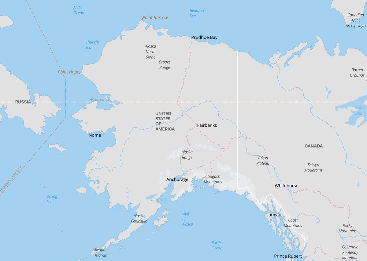
Just south of Point Barrow is the Alaskan city of Utqiaġvik with a population of 4,429 of which 61% are Iñupiat Eskimo. The name was changed from Barrow to Utqiaġvik by a referendum on December 1, 2016. Located north of the Arctic Circle, Utqiaġvik is the northernmost city in the United States.
An Arctic landscape with thermokarst lakes
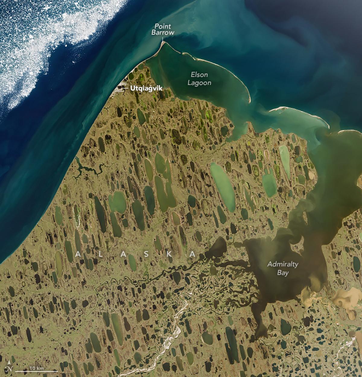
The Alaska North Slope region south of Point Barrow is typical of an Arctic landscape with low relief tundra terrain filled during the warm season with numerous lakes and ponds. The Landsat 9 satellite image above shows elongated thermokarst lakes. These lakes form when only the upper surface of the ground thaws and fills with meltwater. The flat terrain and the permafrost below the water bodies drastically slows down drainage towards the sea from these water bodies.


